Historic Georgian maps digitalised, available on the web
 Tweet
Tweet  Share
Share
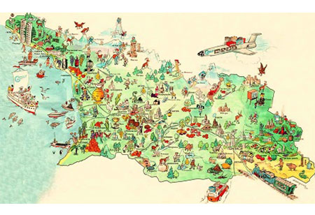
Georgia’s National Agency of Public Registry has launched a project to digitalise and create an online archive of unique historical maps of Georgia that are accessible to citizens all over the country.
The Registry said more than 90 percent of the 1,550 topographic maps were already uploaded and available for public access at the site www.reestri.gov.ge.
The process had been difficult as some of the maps had been created in the second half of the 20th Century and had only been preserved as a single sample, the Agency added.
These maps, created over the period from 1953-1989, are of unique historical value and were subject of frequent requests by state offices and engineering organisations. The digital archive will ensure their preservation and enhance their accessibility,” National Agency of Public Registry chairman Papuna Ugrekhelidze said while announcing the project.
The maps – featuring scales of 1:2000 and 1:5000 – were collected from the cartographic archive of the Public Registry. The samples were scanned using high resolution digital processing and uploaded to the online catalogue, which included a search function.
The digitalised maps were expected to be useful for organisations and individuals in matters of administrative borders, defence, agriculture and infrastructure.
Georgia’s Public Registry was granted the cartographic office in 2010 after the unit was transferred from the Environment Protection and Natural Resources Ministry.
In recent years the Registry has carried out a number of cartographic projects and has produced digital maps for serving citizens and field specialists.