EU lets Georgia use its satellite recordings to observe Borjomi forest fire

The European Union (EU) has activated its Copernicus program to monitor the fire in Borjomi Gorge and it will let Georgia access the satellite footage.
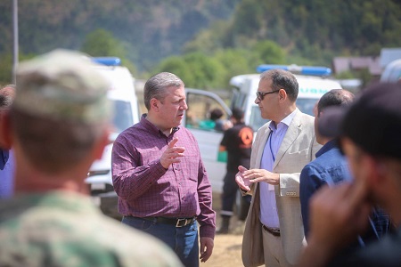
This afternoon Chargé d'Affaires of the Delegation of the European Union to Georgia Carlo Natale has met with Prime Minister Giorgi Kvirikashvili. He said that Georgia will get the forest maps created by the earth observation satellites as soon as today.
"We are impressed by what we have seen at site. We witnessed the efforts that were made in order to handle the fire during these several days”, he said.
He said that the EU filmed the Borjomi fire using the Copernicus program, which is a good tool to observe the blaze spreading area and locate fire pockets.
Copernicus is the European system for monitoring the Earth and is coordinated and managed by the European Commission.
The development of the observation infrastructure is performed under the aegis of the European Space Agency for the space component and by the European Environment Agency and EU countries for the in situ component.
It consists of a complex set of systems which collect data from multiple sources: earth observation satellites and in situ sensors such as ground stations, airborne sensors, and sea-borne sensors. It processes this data and provides users with reliable and up-to-date information through a set of services related to environmental and security issues.
Looking ahead, Natale said that once the fire is handled, the EU is ready to send its experts to Georgia and help restore and preserve Borjomi forests.
 Tweet
Tweet  Share
Share