New maps in subway to help commuters better navigate capital
 Tweet
Tweet  Share
Share
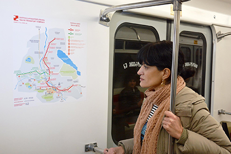
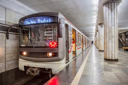
Bilingual maps with metro stations, main streets and other landmarks around each station have now appeared in the Tbilisi subway system.
The idea was the initiative of a youth group united under the Urban Lab project, which aims to help both local and foreign commuters better navigate Tbilisi.
Author of the idea Sandro Targamadze wrote on his personal Facebook page yesterday that soon all subway cars would be equipped with maps containing detailed information about the subway system, directions, districts and sightseeing.
I and the entire team of the Urban Lab have been working on this [idea] for a very long time”, Targamadze said, thanking the Tbilisi Transport Company and online funding platform Orbeliani Georgia for their support in turning their idea into a reality.
With the support of the Swedish International Development Cooperation Agency (Sida), Orbeliani Georgia announced an open call for projects aimed at bringing about positive social change last year.
The idea to update the subway system’s maps was among one of the winners. The team worked on an entirely voluntary basis and asked for only 1,640 GEL to print 324 subway scheme posters.
Director of Orbeliani Georgia Keti Khachidze said the map of Tbilisi metro stations has not been updated for decades. She believes the new bilingual map will make it easier for tourists and newcomers to navigate around the capital and get to their destination.
Director of Urban Lab Giorgi Babunashvili said a jury uniting representatives of Tbilisi City Hall, Tbilisi Transport Company, Orbeliani Georgia, experts in urban development and architects selected Iana Shavganchuk for her design of the the subway map from other competitors.

A top official with FC Barcelona is in charge of developing Tbilisi’s underground rail network.
A Spanish-Italian company has been selected to build a new subway station in Tbilisi’s Saburtalo district.
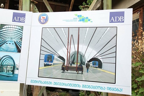
An international tender to construct a new Metro station in Tbilisi has been announced.
Residents living in Georgia’s capital city will soon become better connected thanks to the announcement of a new Metro station in Saburtalo.

Pupils of Davitiani village in Georgia’s eastern region of Kakheti will now have access to interactive English lessons with the help of a newly furbished computer lab.
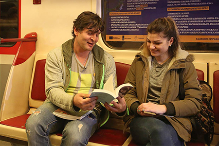
Travelling across the Saburtalo line this morning, commuters of Tbilisi metro received books and invitations to attend World Book Day festival this Sunday, April 23.
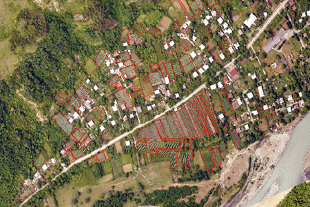
Georgia has started creating cadastral maps of its vineyards, preparing alphanumeric information about viticulture and vineyards, including varieties and other characteristics.
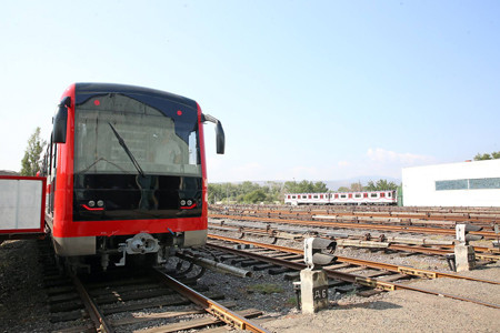
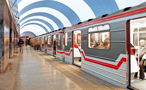
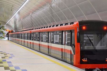
Passengers of Tbilisi Metro will soon be able to ride public transportation with modern, more comfortable and newly-designed wagons.
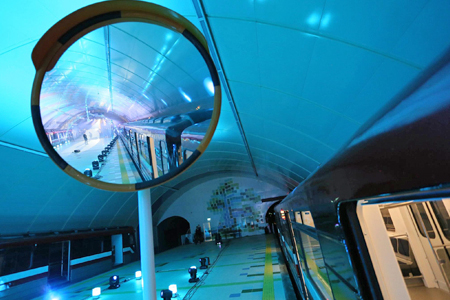
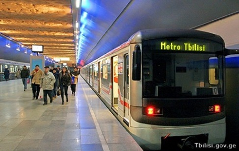
A new University Metro station has opened in Georgia’s capital of Tbilisi, better connecting residents living in the city.
Metro drivers started their strike yesterday and have gathered in Gladni Depot currently demanding an increase in their salary from the Tbilisi mayor. Tbilisi City Hall has provided passengers with free buses appointed particularly for this day to avoid traffic around the city.
Train drivers continue protest
The drivers of Tbilisi subway trains continue their protest, demanding increased salaries. On the other hand Tbilisi City Hall says this year there is no financial resources to increase salaries for subway drivers and promises to start discussions on the issue in 2019.