Russia uses Soviet maps to determine border with Georgia, local NGO says
 Tweet
Tweet  Share
Share
One of Georgia’s leading non-governmental organisations has released its latest study depicting the future consequences of Russia’s creeping occupation on Georgian soil since the Russia-Georgia war of 2008.
The Institute for Development of Freedom of Information (IDFI) announced the aim of its research was to specify the scheme Russia used when it illegally advanced into Georgian soil and occupied more land.
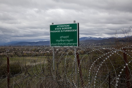
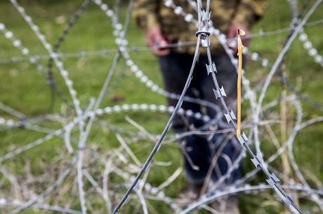
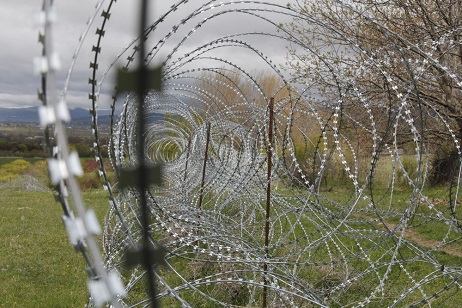
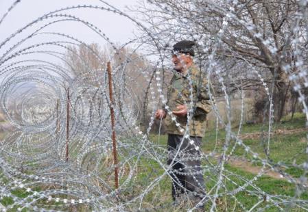
IDFI alleged the Russian side used maps dating back to the Soviet Union era, that showed outdated administrative boundaries when erecting new barbed wire fences and boundaries on Georgian territory.
The NGO said its research was based on figures provided by Georgia’s Ministry of Defence, which noted following the Russia-Georgia clash, Georgia lost control of 135 residential points in eastern de facto Tskhinvali (South Ossetia) region and 16 areas in western Kodori Gorge.
Following the war a major part of the Georgian population living in the Autonomous Republic of South Ossetia were driven out from their residential areas, among them were people living in the Akhalgori district and Mamisoni Pass.
Georgia lost control of 135 residential sites resided by both Georgian and Ossetian population. The villages only with Georgians were totally destroyed, and in most cases the people were driven out,” IDFI said.
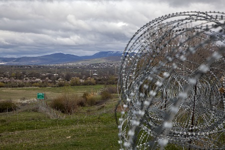
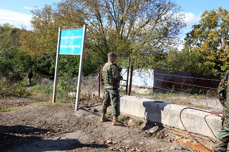
Russia's creeping occupation on the Georgian soil. Photo by N.Alavidze/Agenda.ge.
Touching on the topic the IDFI said that after the completion of armed conflict in Tskhinvali in 1992, through the support of Russia, the Ossetian separatists exercised control on the greater part of the region, on the major part of Tskhinvali district with its administrative centre, Java district and Znauri district.
Before 2008 the central Government of Georgia managed to preserve control of the Akhalgori district except for five Ossetian villages, villages in the Big Liakhvi district, almost all the villages in the Small Liakhvi area, six villages in the Znauri district, Mamisoni Pass and nearby areas.
Now these territories are occupied by Russian forces.
The NGO warned, based on the current situation and the suspicion that Russia used Soviet-era maps to mark administrative boundaries its creeping occupation policy of Georgian soil would continue and overcome several more villages on Georgian soil.
Presumably with the support of Russia, the Ossetian separatists will continue its demarcation activities based on topographic maps issued by the General Staff of the Soviet Union that reflects the administrative boundaries based on the situation in 1984,” IDFI said.
The NGO said the villages now at risk were Zemo Nikozi, Ergneti, Ditsi, Mejvriskhevi, Plavismani, Tsitelubani, Karapila, Saribari, Tvaurebi and Avlevi.
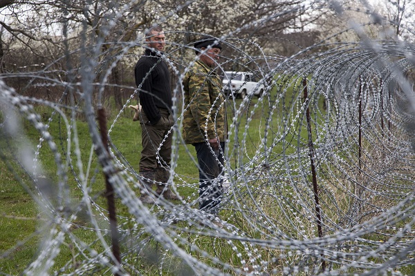
On the same note the NGO said the more inhabited part of villages in the Big and Small Khurvaleti area have already been overtaken and were now behind the barbed wire.
Since erecting of the barbed wire fences in 2013, the residential part of Gugutiantkari village has also become controlled by occupants. A significant part of Zardiaantkari, Ghogheti, Dvani, Ditsi, Tsitsagiantkari, Jariasheni, Adzvi and Kveshi villages have also been grabbed,” IDFI said.
The organisation added that this year alone Jariasheni village had become "fully controlled” by occupant forces.

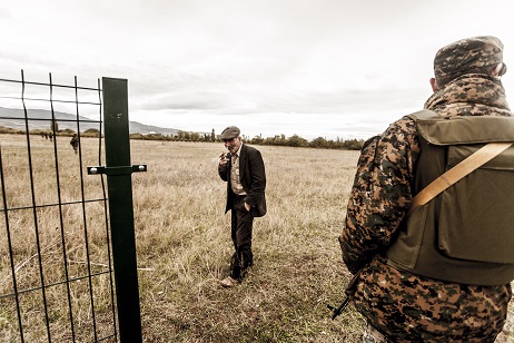
Today Russian soldiers together with de facto Tskhinvali (South Ossetia) representatives detained three Georgian citizens who were grazing their cattle in Sakorintlo village, eastern Kaspi region, near the Administrative Boundary Line (ABL) with breakaway Tskhinvali (South Ossetia).
Locals said the two Georgian cattle herders were detained today by armed Russian occupying forces from Tsitelubani village, which is located on Georgian-controlled territory.
The men have been named as Kakha Begheluri and Givi Kisievi.
Yesterday Russian border guards kidnaped two individuals from Dvani village, located near the Russian controlled area.
One of the men detained was 13-year-old Tato Mamagulashvili.
A Georgian man has been taken hostage near the so-called administrative border with Georgia's breakaway Tskhinvali region (South Ossetia).
The Georgian citizen who went missing in the town of Akhalgori in Georgia’s Russian-occupied Tskhinvali region (South Ossetia) six months ago has been found dead today.
Russian Occupational forces have released a Georgian teenager, after he was taken as a hostage for allegedly crossing the so-called occupation line.
Two Georgian citizens have been taken hostage from Gori villages today- Vasil Khidasheli,19, from the village Tsitelubani and Aleksandre Shiukashvili,32, from the village Kirbali. According to the Ministry of Internal Affairs ( MIA) international organisations have already been informed regarding the facts.
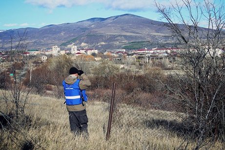
Conflict resolution experts descended in the Georgian village of Ergneti to discuss issues that are plaguing the troubled region.
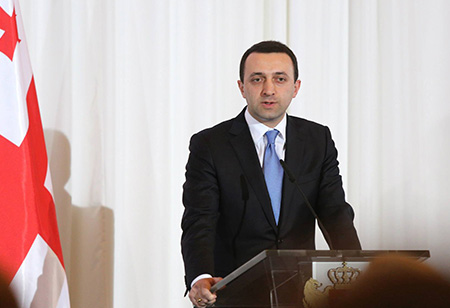
"We are aware of the statement issued today by the Russian Federation regarding the possible annulment of visa requirements for Georgian nationals. I believe it is a step in the right direction,” said Georgia's Prime Minister Irakli Garibashvili.